01
Shared tactical map
Military symbols, drawing tools, layers and offline maps.
Bring field information onto a shared map and team communications into one application.
ALTAIR is a tactical software solution focused on field teams using position, task and observation information in a shared interface. Map, messaging and voice communications flows are addressed according to the mission structure. Device selection and network connectivity are evaluated together with the environment in which the application will be used.
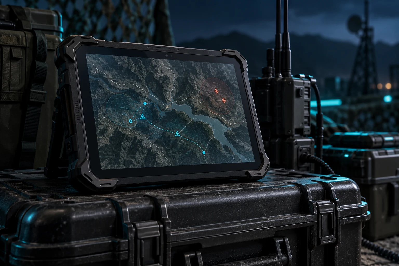
Field teams often learn each other's positions verbally over the radio, which leads to lost time and misunderstandings.
As teams spread out, it becomes harder to track who is where, which area has been checked and where a threat has been seen. The problem grows in areas without central infrastructure or where the connection is lost.
ALTAIR shares each user's position automatically, marks detections on the map and brings voice and text communications onto the same screen. Devices can connect to each other directly and share information even without infrastructure.
Military symbols, drawing tools, layers and offline maps.
Automatic, periodic sharing of team members' positions (friendly force tracking).
In-app group channels and one-to-one voice calls.
Ready-made report templates, text messages, photo and file sharing.
Direct (mesh) connection between devices; pending data is delivered automatically when a connection returns.
Open interfaces for integration with radios, unmanned systems and sensors.
The modules run within the same application; they can be licensed together or separately according to the organization's needs.
Shared map and situational awareness
Team positions, detections, mission areas and routes on a single map.
Push-to-talk voice communications
Group and one-to-one voice communications from within the application; bridging with radio networks.
Messaging and sharing without infrastructure
Device-to-device message, task and file sharing without a base station or central server.
Dismounted teams move in coordination on a shared map.
Instant sharing of patrol positions and detections with the center.
Communications and task assignment between teams in areas where infrastructure has collapsed.
Pre-operation planning and a shared picture during operations.
Hardware selection, functions and integration scope are determined by the operating environment. Let’s evaluate the right configuration for your project together.
| Platform | Android-based rugged tablets, smartphones and handheld terminals; desktop client for the command center. |
|---|---|
| Map | Offline map layers, OGC WMS/WMTS services, APP-6 and MIL-STD-2525 symbology. |
| Communications | Operation over cellular, Wi-Fi, IP radio and mesh networks; data compression for low bandwidth. |
| Interoperability | Support for the Cursor on Target (CoT) message format and NATO friendly force tracking formats is targeted. |
| Security | End-to-end encryption with AES-256, device and user authorization, remote data wipe. |
| Server | On-premises synchronization server; does not require an internet connection. |